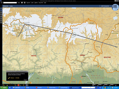
Leg 19: VQPR (Paro, Bhutan) to VNLK (Lukla, Nepal)
Date: 1 December,
2003
Time:
9.23 - 10.30am
Distance:
144.1nm
<< Previous Leg || Next Leg >>
Today we're flying to Nepal via Mount Everest! The scenery is just going to be fantastic...
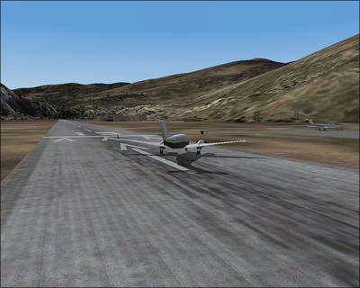
Reversing
to runway 13 at Paro...
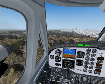
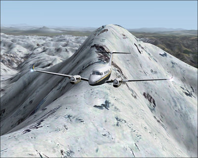
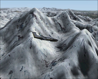
After
travelling west for a while, snowcapped mountains appear before us.
We
reach Mount Kanchenjunga first; at 8598m, the world's third highest mountain.
Looking
back towards Kanchenjunga.
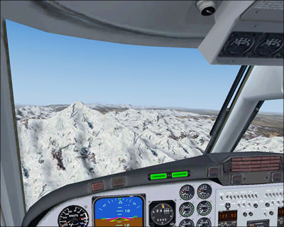
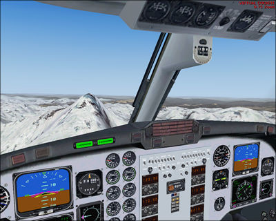
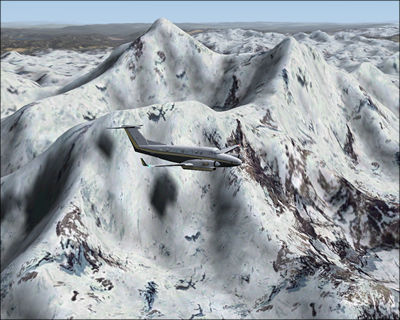
Everest
is right in front of us. It's the world's tallest mountain at 8,850 metres
(29,035 feet). 50 years ago in 1953, New Zealander Edmund Hillary and
Nepalese guide Tenzing Norgay of the British expedition succesfully scaled
the peak.
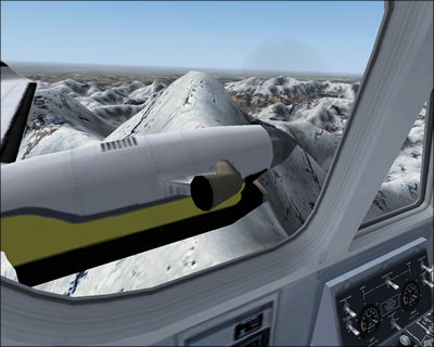
Everest at our left window...
before
we turn left to the south east direction.
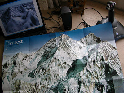
Here's a map
from the May 2003 issue of National Geographic. The side facing left is
the North Face, and the side facing right is the Southwest Face. The huge
valley is the Western Cwm (pr. koom), and the British expedition of 1953
used this route from Base Camp (at the lower part of the cwm), moving
up the valley before turning left and attacking the summit from the south.
The peak to the right of the summit is the Lhotse.
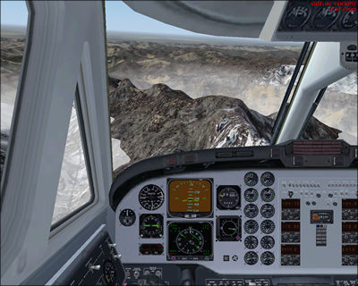
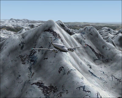
We
fly away from the summit, trying to find our landing strip.
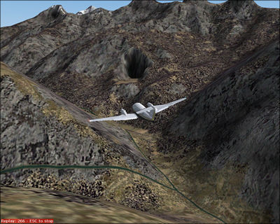
Our target is the 'hole' you see above, the notorious Lukla airport (2800m)
built in 1965 by Sir Hillary. This is ridiculously heart-stopping! This
website
describes it as 'The Lukla airport is madness. The runway is slanted
and ends up in a ravine. The experienced ones say that landing in Lukla
is a controlled fall.' You can read a real life account of how landings
routinely occur here.
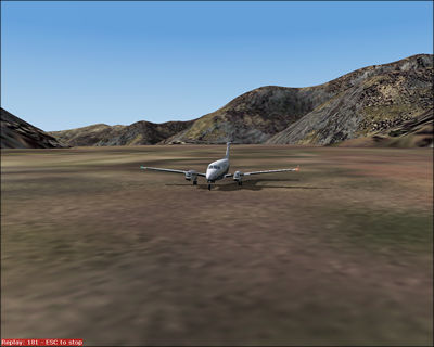
We
finally land on a ledge cut into the mountain, i.e., the runway. More
real pictures of Lukla here.
<< Previous Leg || Next Leg
>>