Leg 18: VGZR (Zia International, Dhaka, Bangladesh) to VQPR (Paro, Bhutan)
Date: 8 November,
2003
Time:
9.25 - 10.58am
Distance:
292.9nm
<< Previous Leg || Next Leg >>
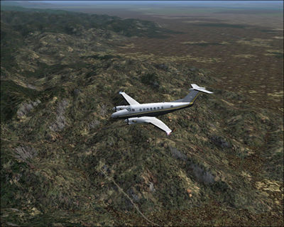
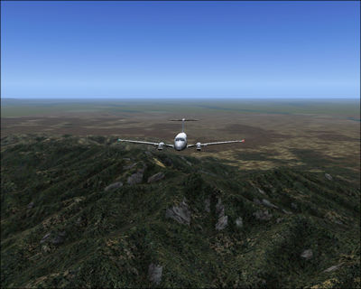
Today we'll fly to Bhutan. Let me just say that this leg has been the most magnificent so far! The mountains are glorious. I think Microsoft uses finer detailed landmeshes for the Himalayan areas, it certainly looks very good.
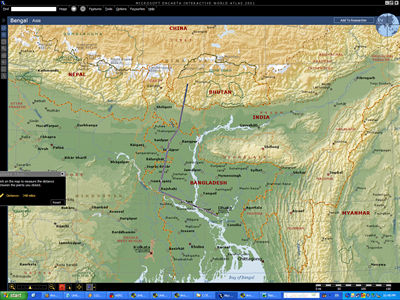
After
taking off from Dhaka, we travel northwest, then north towards the mountain.
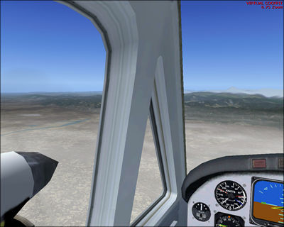
From relatively flat plains...
...
the terrain suddenly pops up right in front of us; we've reached the Himalayan
ranges.
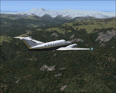
I'm
not entirely sure, but the white color mountains seem to be Mount Kanchenjunga;
at 8598m, it's the world's third highest mountain.
Looking
back towards Bhutan.
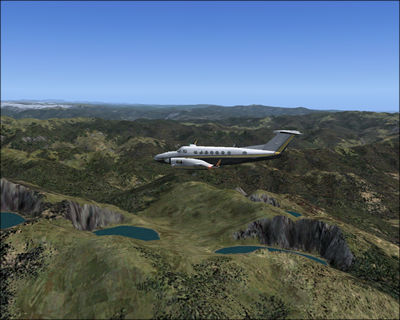
Three
big lakes among rugged mountains.
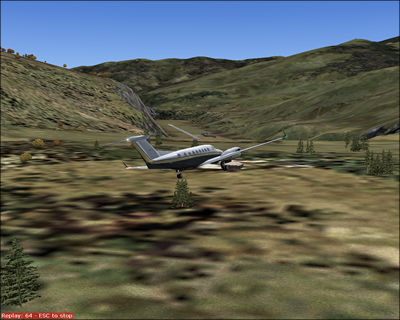
Things become treacherous as I try to land at Paro airport. The airport
is sunk (a little too much compared to real life) between the mountain
slopes.
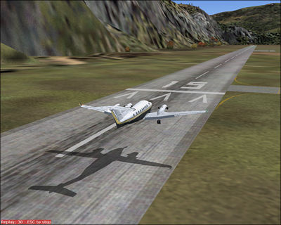
What
a difficult landing. Click
here for real Paro pictures. It's really beautiful.
<< Previous Leg || Next Leg
>>